Booderee
Booderee National Park Bushwalks.
Booderee National Park snap shot:
Distance: 14 – 20km loop.
Where: Booderee National Park.
Difficulty: Easy with steep sections to the beaches.
Rating: 5 Stars
-
Booderee National Park Bushwalks.
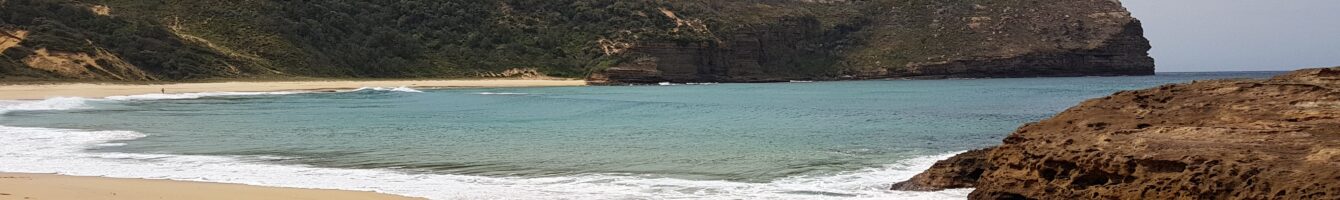
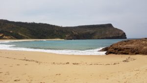 Booderee National park offers a few high quality bushwalks. The one I choose to do while I was in the area was a hike to Streamers beach followed by the circuit trail. The main walk is around 14km. If you decide to go down some of the smaller trails you can easily strut 20km on this scenic bushwalk. The walk isn’t all that difficult. Though getting down to the beaches is on the steep side. The access is good.
As with all beaches in the general area, the colour of the water is something to be seen. The photos don’t do these beaches justice. Steamers beach is the standout which is framed by some magnificent cliffs.
Directions to Booderee National Park.
Google Map Link. Head down Jervis Bay Road until it turns into Navel Colleege Rd. Following the signs to Booderee National Park.
Google Map link to Streamers beach carpark.
-
Booderee National Park loop Trail Map.
 Booderee
loading map - please wait...
- Submit your reviewTrail MazeAverage rating: 0 reviews
-
Booderee National Park bushwalk Photo Gallery.
-
Booderee National Park bushwalking Youtube Clip.
-
Directions to Booderee National Park.
Google Map Link. Head down Jervis Bay Road until it turns into Navel Colleege Rd. Following the signs to Booderee National Park.
Google Map link to Streamers beach carpark.
Google map of Booderee National Park.
Tags:
Bushwalking Shoalhaven, Shoalhaven hiking trails, Shoalhaven tracks, tracks, trails, Shoalhaven bushwalk,