Illawarra
Illawarra Bushwalks.
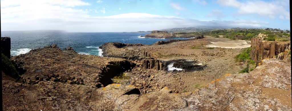
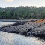
Kiama Coast Walk
The Illawarra region has some excellent bushwalks to choose from. The table below contains some of Illawarra’s best bushwalks.
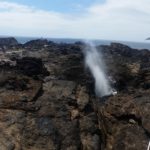
Kiama Coast Walk Distance: 9km, 22km
Difficulty: Easy
Where: Start at Minnamurra.
Rating 4 Stars
|
Sublime Point Track Distance: 15km one way or 2km return.
Where: Stanwell Station.
Difficulty: Hard.
Rating: 5 Stars
|
Lower Escarpment Trail Distance: 5km return.
Where: Bulli Pass.
Difficulty: Intermediate.
Rating: 4 Stars
|
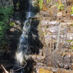
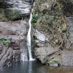 Cascade Falls Distance: 2km return
Difficulty: Easy.
Where: Macquarie Pass
Rating: 4 1/2 stars
|

Jump Rock Distance: 5km
Difficulty: Medium/Hard
Where: Macquarie Pass
Rating: 5 stars
|
Clover Hill Distance: 6km or 15km
Difficulty: Hard
Where: Macquarie Pass
Rating: 5 stars
|
Hoddles Tracks Distance: 8km
Difficulty: Steep
Where: Saddleback Mountain.
Rating 4 Stars
|
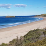
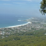
Killalea State Park Distance: 5 – 15km
Difficulty: Easy, however steep steps to the beach.
Where: Shell Cove, Ilawarra.
Rating 5 Stars
|
Bass Point Coastal Walk Distance: 3 – 5km return
Difficulty: Easy.
Where: Bass Point Reserve.
Rating 4 Stars
|

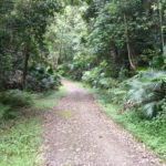
Barren Grounds Distance: 8km to 25km
Difficulty: Easy
Where: Barren Grounds
Rating: 4 stars
|
Mermaid Pools Distance: 10km
Difficulty: Hard
Where: Bargo.
Rating 5 Stars
|
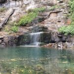
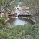
Minnamurra Falls Distance: approx 5km
Difficulty: Easy/medium
Where: Budderoo.
Rating 5 Stars
|

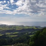
Mount Keira Distance: 5.5km to 12km
Difficulty: Medium/Hard
Where: Mount Keira
Rating: 5 stars
|
Map of Illawarra Bushwalks.
The map below contains some of the best bushwalks in the Illawarra region.
Bushwalk - NSW - Illawarra
loading map - please wait...
Tags:
Illawarra bushwalks, trek, hike, best Illawarra bushwalks, tracks, trails, Kiama Coast Walk, Sublime Point Track, south coast bush walks, macquarie pass bushwalks, Illawarra hiking.