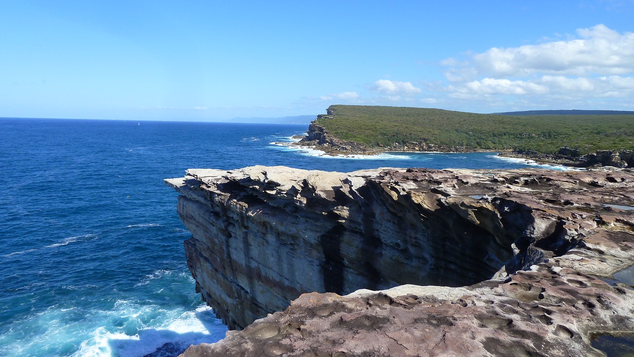
Royal National Park Coast Track
The Royal Coastal Walk

The Royal Coastal Walk, Royal National Park
The Royal Coastal Walk, Snapshot:
-
The Royal Coastal Walk
The Royal coastal walk has to be right up there with one of the best hikes in NSW. Starting at Jibbon beach the Royal National Park coastline goes for 30km until you hit Otford lookout. If you want to make the walk a few kilometers shorter you could start at Beachcomber Ave, Bundeena. You have the option to break the trek up over 2 days and camp for a night at Era or do it all in one hit. If you decide to go the whole hog and do the walk over 1 day my advice would be to do some training beforehand as 30km’s in one day is on the hard side. It took us just over 8 hours to complete and I was feeling it towards the end.
A breakdown of the Royal Coastal Walk.
Start at Jibbon Beach, Neil St, Bundeena.
- 1.6km – Port Hacking Point.
- 2.2km – Shelly Beach.
- 4.8km – The Balconnies.
- 6.4km – The Waterrun.
- 7.3km – Wedding Cake Rock.
- 8.3km – Marley Head.
- 8.9km – Big Marley.
- 10.0km – Little Marley.
- 12.8km – Wattamolla Dam.
- 13.4km – Wattamolla.
- 17.3km – Eagle Rock.
- 20.6km – Garie Beach.
- 22.3km – Little Garie.
- 23.2km – North Era.
- 23.7km – South Era.
- 25.0km – Burning Palms Beach.
- 30.0km – Otford Lookout.
How to get there?
You have public transport options at both ends. There are ferries that run from Cronulla to Bundeena. The ferry timetable can be found at the following link:
http://www.cronullaferries.com.au/ferries-to-bundeena/bundeena-timetable/
The other option is to get a train at the other end at Otford station.
We were lucky enough to get a lift to Bundeena and the driver taking off with a big smirk on their face. They knew the pain we were about to go through.
At the Otford end we were going to get the train back. However Mick who now has a new nickname of Legend planted his car at Otford lookout over night. It was a massive surprise at the end of the bushwalk to know we were getting chauffeured home. If that wasn’t enough he loaded up his boot with an esky full of beer. It was the shout of the century and a great way to finish the day.
-
Royal National Park Coast Track Map.
- Submit your reviewTrail MazeAverage rating: 0 reviews
-
Royal National Park Coast Photo Gallery.
-
Youtube Clip
Below is a youtube clip of the walk. Hope it gives you a little teaser of what your in for.
Tags:
Bushwalk, hike, hiking, Royal National Park, Wattamolla, Big Marley, Little Marley, coast track, cliffs, Garie Beach, Marley head, Jibbon Beach,